Moira Shire Council
Moira Shire is strategically located about three hours drive north of Melbourne and is close to the regional centres of Shepparton, Albury/Wodonga and Echuca/Moama.
The Shire’s northern boundary is the Murray River on the New South Wales-Victorian border. The Shire boasts key agriculture, dairy, horticulture and viticulture industries as well as a strong tourism sector and a growing manufacturing sector.
The Natural river systems of the Goulburn-Broken, Murray and Ovens catchments provide a foundation for the Shire’s historical, cultural, economic and physical identity.
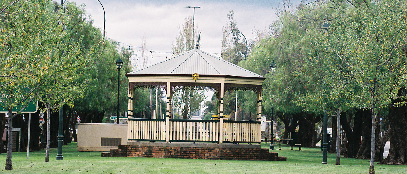
The municipal region comprises the major centres of Cobram, Nathalia, Numurkah and Yarrawonga as well as 18 smaller towns and communities. These towns are supported by a diverse agricultural base and provide a relaxed and friendly rural atmosphere.
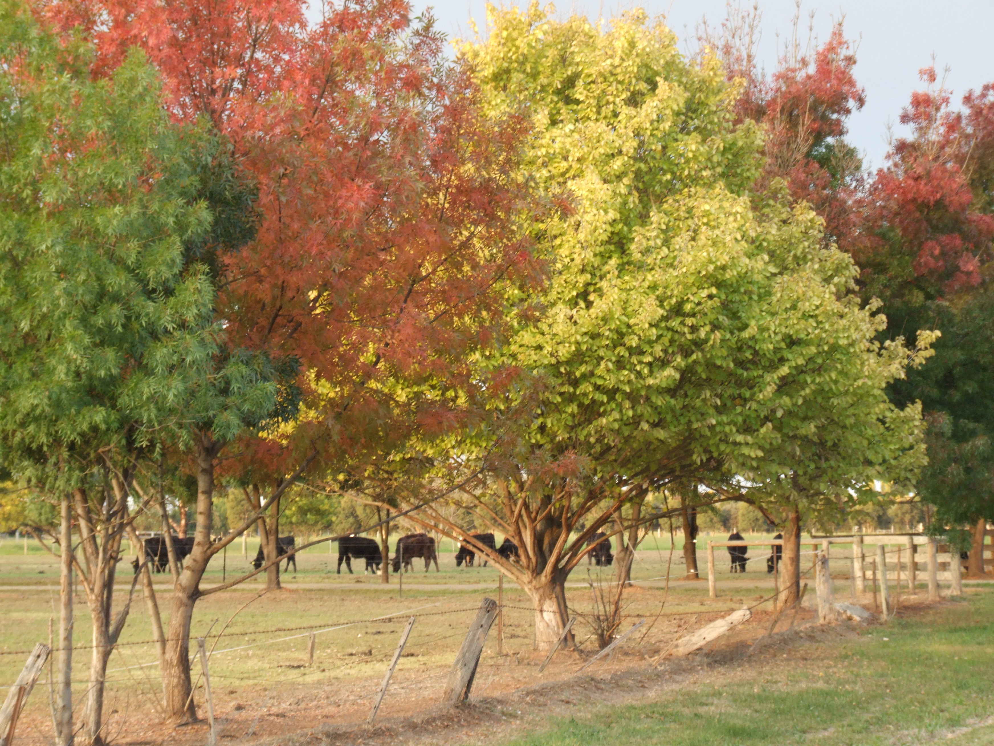
Moira Shire enjoys a temperate climate, fertile soils and a generous annual rainfall. These factors combine to create a rich agricultural centre and offer a range of lifestyle choices for the community of nearly 28,000
Moira Shire offers the best of country living, with all the advantages of relatively low housing costs, quality education and health services, extensive sport and recreation facilities, access to many community activities and an excellent climate. The region provides an attractive country lifestyle with all its advantages, and is experiencing ongoing residential and commercial growth.
Proud Past – History
The Shire of Moira was created in November 1994. It extends from the junction of the Goulburn River with the Murray River in the west, along the Murray River to the north to the junction with the Ovens River, south down the Ovens River to the Tungamah-Peechelba Road, zigzagging south and west along Boundary Road below Lake Rowan and St James and west to the Goulburn River.
The phases or events that constitute the major contributing factors to the economic development and growth of the Shire were:
- 1840s -1880s – squatters and their runs;
- 1853 -1880s – river boats;
- 1870s – early 1900s – land selection;
- 1880s – early 1900s – railway lines;
- 1890s – water supply and irrigation schemes;
- 1930s – construction of Yarrawonga weir and irrigation schemes; and
- 1945 – Soldier Settlement (Murray-Goulburn Irrigation Area).
The County of Moira was in the last group of counties in the colony to be proclaimed in February 1871.
Early transport in the Shire was by foot, horseback and horse or bullock drawn wagons and from the early 1850s riverboats provided a much needed form of transport along the Murray River. Although some roads were established in the region, the local shires were not established until the 1870s and funds were rarely sufficient to develop and maintain roads and bridges. Regular floods of the major rivers and creeks in the region resulted in badly maintained roads and river crossings.
Serious droughts affected the colony from 1877 to 1881, which resulted in legislation to set up water trusts to establish and manage local works.
The rivers and creeks of the Shire are the lifeblood of the land. Three major rivers, the Murray, Goulburn and Ovens, constitute a large part of the boundary of the Shire to the east, north, west, and south west. Broken Creek (also referred to as Broken River) runs through the Shire, as do larger creeks, such as Boosey Creek. The alluvial floodplains, rivers and creeks and irrigation schemes support an agricultural area covering 71 percent of the Shire, of which about half is irrigated and half is “dry”.
The construction of weirs and irrigation channels in the Shire had the greatest impact on the development of the region into a major agricultural, horticultural and dairying centre. The Soldier Settlement period following World War II had a major impact on the population and production growth of the Shire, however, the long-term effect would not have been achievable to the same extent without the network of irrigation channels.
In the current climate, the Shire remains heavily reliant on agriculture, horticulture and tourism. Moira Shire is a vibrant and progressive place in which to live, work and do business.
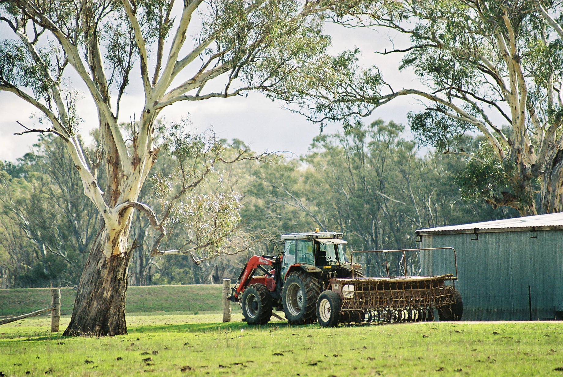
Crawfords Road Bearii
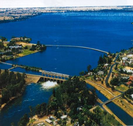
Lake Mulwala
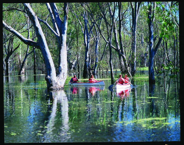
Murray River
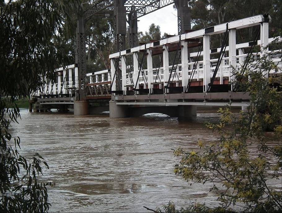
Old Cobram-Barooga Bridge
